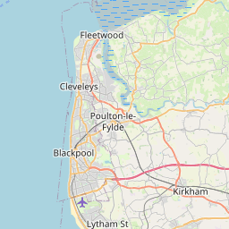
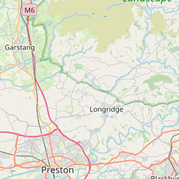
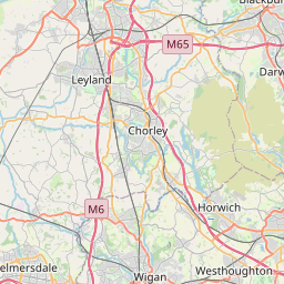
Howick Cross Map, Satellite view of Howick Cross, Lancashire, England
Howick Cross is located in Lancashire County, South Ribble District, North West, England, United Kingdom.
Location informations of Howick Cross
Latitude of city of Howick Cross is 53.74152 and longitude of city of Howick Cross is -2.75198. Howick Cross has 1 postcode / zip code, in county of Lancashire.The County of Howick Cross is Lancashire.
Postcode / zip code of Howick Cross
PR1 0Administrative division of Howick Cross
County :LancashireGPS coordinates of Howick Cross
Latitude : 53.74152Longitude : -2.75198
Online Map of Howick Cross - road map, satellite view and street view


Leaflet | © OpenStreetMap contributors
Search distance between two cities
The weather for Howick Cross in the United Kingdom
Get today and tomorrow's weather forecasts for Howick Cross. Find out the weather forecast for the week ahead and the weekend for Howick Cross in the UK.Howick Cross weather forecast 15 days
What is the nearest train station to Howick Cross?
List of Railway Stations near to Howick CrossThe nearest railway stations to Howick Cross are listed below. Tickets are available at the train station ticket office or ticket machines.
| Name | Distances from Howick Cross |
|---|---|
| Preston Station | 3.35 Km |
| Lostock Hall Station | 4.66 Km |
| Salwick Station | 6.17 Km |
| Bamber Bridge Station | 6.22 Km |
| Leyland Station | 6.38 Km |
| Croston Station | 8.40 Km |
| Buckshaw Parkway Station | 9.67 Km |
| Kirkham and Wesham Station | 9.98 Km |
| Euxton Balshaw Lane Station | 10.44 Km |
| Rufford Station | 12.46 Km |
Warton Airport , UK (8.63 Km)
What is the nearest Public Transport Stops to Howick Cross?
List of Stops near to Howick CrossGetting there by public transport (nearest train, tube, overground line station and bus stops). The nearest stops to Howick Cross are listed below.
| Stop Name | Distances from Howick Cross |
|---|---|
| Howick CEPS Bus Stop (opp) | 355 m |
| Howick Cross Lane Bus Stop (opp) | 369 m |
| Howick CEPS Bus Stop (by) | 385 m |
| Howick Cross Lane Bus Stop (by) | 390 m |
| Lindle Lane Bus Stop (opp) | 552 m |
| Lindle Lane Bus Stop (by) | 569 m |
| Central Drive Bus Stop (by) | 589 m |
| Moor Avenue Bus Stop (by) | 596 m |
| Central Drive Bus Stop (adj) | 599 m |
| Moor Avenue Bus Stop (adj) | 602 m |
Historic Places to Visit near Howick Cross
List of Historic places near to Howick Cross
| Name | Distances from Howick Cross |
|---|---|
| Penwortham, St Marys Church | 2.24 Km |
| Becconsall Old Church | 7.06 Km |
| Tarleton Old Church | 8.58 Km |
| Astley Hall Museum and Art Gallery | 11.43 Km |
| Hoghton Tower | 11.75 Km |
| Rufford Hall | 12.21 Km |
| Samlesbury Hall | 12.23 Km |
| Lytham Hall | 14.55 Km |
Cities or Towns near Howick Cross
List of places near to
| Name | Distance |
|---|---|
| Hutton | 1.21 Km |
| Penwortham | 1.56 Km |
| New Longton | 1.67 Km |
| Higher Penwortham | 1.75 Km |
| White Stake | 2.09 Km |
| Riverside Docklands | 2.23 Km |
| Kingsfold | 2.29 Km |
| Longton | 2.52 Km |
| Ashton Bank | 2.57 Km |
| Lower Penwortham | 2.58 Km |
| New Gate | 2.71 Km |
| Larches | 2.74 Km |
| Middleforth Green | 2.75 Km |
| Broadgate | 2.85 Km |
| Lea | 2.99 Km |
| Ashton-on-Ribble | 3.11 Km |
| Penwortham Lane | 3.15 Km |
| Bottom of Hutton | 3.39 Km |
| Maudlands | 3.53 Km |
| Farington Moss | 3.60 Km |
| Avenham | 3.93 Km |
| Adelphi | 3.95 Km |
| Preston | 4.10 Km |
| Farington | 4.21 Km |
| Walmer Bridge | 4.30 Km |
| Little Hoole Moss Houses | 4.34 Km |
| Cadley | 4.46 Km |
| Lostock Hall | 4.46 Km |
| Ingol | 4.49 Km |
| Frenchwood | 4.52 Km |
| Gallows Hill | 4.55 Km |
| Midge Hall | 4.58 Km |
| Tardy Gate | 4.58 Km |
| Lea Town | 4.63 Km |
| Nooklands | 4.85 Km |
| Clifton | 4.94 Km |
| Walton-Le-Dale | 4.99 Km |
| Cocker Bar | 5.00 Km |
| Deepdale | 5.14 Km |
| Cottam | 5.17 Km |
| Earnshaw Bridge | 5.24 Km |
| Tanterton | 5.32 Km |
| Much Hoole Moss Houses | 5.38 Km |
| Cuerden Green | 5.39 Km |
| Fishwick | 5.44 Km |
| Moss Side | 5.57 Km |
| The Straits | 5.57 Km |
| Much Hoole | 5.58 Km |
| Nog Tow | 5.63 Km |
| Goose Green | 5.73 Km |