Byreburnfoot Map, Satellite view of Byreburnfoot, Dumfries, Scotland
Byreburnfoot is located in Dumfries County, Dumfries and Galloway, Scotland, Scotland, United Kingdom.
Location informations of Byreburnfoot
Latitude of city of Byreburnfoot is 55.09127 and longitude of city of Byreburnfoot is -2.95658. Byreburnfoot has 1 postcode / zip code, in county of Dumfries.The County of Byreburnfoot is Dumfries.
Postcode / zip code of Byreburnfoot
DG14 0Administrative division of Byreburnfoot
County :DumfriesGPS coordinates of Byreburnfoot
Latitude : 55.09127Longitude : -2.95658
Online Map of Byreburnfoot - road map, satellite view and street view
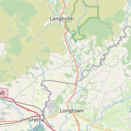
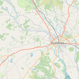

Leaflet | © OpenStreetMap contributors
Search distance between two cities
The weather for Byreburnfoot in the United Kingdom
Get today and tomorrow's weather forecasts for Byreburnfoot. Find out the weather forecast for the week ahead and the weekend for Byreburnfoot in the UK.Byreburnfoot weather forecast 15 days
What is the nearest train station to Byreburnfoot?
List of Railway Stations near to ByreburnfootThe nearest railway stations to Byreburnfoot are listed below. Tickets are available at the train station ticket office or ticket machines.
| Name | Distances from Byreburnfoot |
|---|---|
| Gretna Green Station | 12.19 Km |
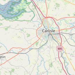
| Carlisle Station | 22.36 Km |
| Annan Station | 22.87 Km |
| Brampton (Cumbria) Station | 23.95 Km |
| Wetheral Station | 24.40 Km |
| Lockerbie Station | 25.50 Km |
| Dalston Station | 27.33 Km |
What is the nearest Public Transport Stops to Byreburnfoot?
List of Stops near to ByreburnfootGetting there by public transport (nearest train, tube, overground line station and bus stops). The nearest stops to Byreburnfoot are listed below.
| Stop Name | Distances from Byreburnfoot |
|---|---|
| Gilnockie Bridge Bus Stop (South) | 617 m |
| Gilnockie Bridge Bus Stop (North) | 634 m |
| Village Bus Stop (Shelter) | 704 m |
| Village Bus Stop (opp Shelter) | 725 m |
| Watchhill Bus Stop (opp road end) | 1.46 Km |
| Watchhill Bus Stop (at road end) | 1.46 Km |
| Village Bus Stop (Post Office) | 1.48 Km |
| Village Bus Stop (opp Post Office) | 1.48 Km |
| Cross Keys Bus Stop (Hotel) | 1.69 Km |
| Cross Keys Bus Stop (opp Hotel) | 1.69 Km |
Historic Places to Visit near Byreburnfoot
List of Historic places near to Byreburnfoot
| Name | Distances from Byreburnfoot |
|---|---|
| Kirklinton Hall | 11.32 Km |
Cities or Towns near Byreburnfoot
List of places near to
| Name | Distance |
|---|---|
| Hollows | 0.62 Km |
| Claygate | 1.37 Km |
| Canonbie | 1.43 Km |
| Rowanburn | 1.90 Km |
| Evertown | 3.65 Km |
| Moat | 4.34 Km |
| Scotsdike | 4.68 Km |
| Carwinley | 5.26 Km |
| Warwicksland | 5.87 Km |
| Caulside | 5.89 Km |
| Scuggate | 6.16 Km |
| Milltown | 6.19 Km |
| Penton | 6.45 Km |
| Catlowdy | 6.97 Km |
| Easton | 7.15 Km |
| Langholm | 7.15 Km |
| New Langholm | 7.53 Km |
| Cadgill | 8.11 Km |
| Bushfield | 8.84 Km |
| Chapelknowe | 8.97 Km |
| Haggbeck | 9.08 Km |
| Longtown | 9.23 Km |
| Kershopefoot | 9.91 Km |
| Mallsburn | 10.28 Km |
| Blackbank | 11.17 Km |
| Sleetbeck | 11.50 Km |
| Kirklinton | 11.56 Km |
| Springfield | 11.65 Km |
| Uppertown | 11.79 Km |
| Prior Rigg | 11.93 Km |
| Gretna Green | 12.11 Km |
| Hetherside | 12.17 Km |
| Burnfoot | 12.32 Km |
| Oakshaw Ford | 12.49 Km |
| Kirtleton | 12.54 Km |
| Boltonfellend | 12.55 Km |
| Kinkry Hill | 12.64 Km |
| Gretna | 12.78 Km |
| Longrigg | 12.87 Km |
| Roadhead | 12.99 Km |
| Stapleton | 13.04 Km |
| Mossedge | 13.06 Km |
| Shawfoot | 13.26 Km |
| Smithfield | 13.32 Km |
| Westlinton | 13.33 Km |
| Copshaw Holm / Newcastleton | 13.37 Km |
| Skitby | 13.48 Km |
| Metal Bridge | 13.48 Km |
| Ewes | 13.57 Km |
| Old Graitney | 13.60 Km |