Walford Map, Satellite view of Walford, Somerset, England
Walford is located in Somerset County, Taunton Deane District, South West, England, United Kingdom.
Location informations of Walford
Latitude of city of Walford is 51.04927 and longitude of city of Walford is -3.03729. Walford has 1 postcode / zip code, in county of Somerset.The County of Walford is Somerset.
Postcode / zip code of Walford
TA2 8Administrative division of Walford
County :SomersetGPS coordinates of Walford
Latitude : 51.04927Longitude : -3.03729
Online Map of Walford - road map, satellite view and street view
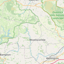
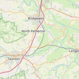
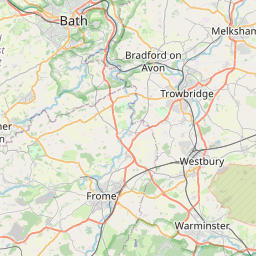

Leaflet | © OpenStreetMap contributors
Search distance between two cities
The weather for Walford in the United Kingdom
Get today and tomorrow's weather forecasts for Walford. Find out the weather forecast for the week ahead and the weekend for Walford in the UK.Walford weather forecast 15 days
What is the nearest train station to Walford?
List of Railway Stations near to WalfordThe nearest railway stations to Walford are listed below. Tickets are available at the train station ticket office or ticket machines.
| Name | Distances from Walford |
|---|---|
| Taunton Station | 5.41 Km |
| Bridgwater Station | 9.33 Km |
| Highbridge and Burnham Station | 19.32 Km |
| Crewkerne Station | 26.65 Km |
| Tiverton Parkway Station | 26.92 Km |
| Honiton Station | 29.99 Km |
What is the nearest Public Transport Stops to Walford?
List of Stops near to WalfordGetting there by public transport (nearest train, tube, overground line station and bus stops). The nearest stops to Walford are listed below.
| Stop Name | Distances from Walford |
|---|---|
| Walford Cross Bus Stop (E-bound) | 264 m |
| Walford Cross Bus Stop (W-bound) | 294 m |
| Adsborough Lane Bus Stop (S-bound) | 521 m |
| Adsborough Lane Bus Stop (N-bound) | 554 m |
| Walford Lodge Bus Stop (NE-bound) | 714 m |
| Walford Lodge Bus Stop (SW-bound) | 771 m |
| Regina Villas Bus Stop (E-bound) | 786 m |
| Monkton Elm Bus Stop (SW-bound) | 1.08 Km |
| Maypole Inn Bus Stop (S-bound) | 1.09 Km |
| Maypole Inn Bus Stop (N-bound) | 1.09 Km |
Historic Places to Visit near Walford
List of Historic places near to Walford
| Name | Distances from Walford |
|---|---|
| Hestercombe Gardens | 3.27 Km |
| Maunsel Lock Canal Centre | 3.57 Km |
| North Curry, St Peter & St Paul Church | 5.29 Km |
| Taunton, St James Church | 5.67 Km |
| Taunton, St Mary Magdalene Church | 5.79 Km |
| East Lyng, St Bartholomews Church | 5.90 Km |
| Museum of Somerset (Taunton Castle) | 5.98 Km |
| Fyne Court | 6.17 Km |
| Willows and Wetlands Centre | 6.50 Km |
| Thurlbear, St Thomas Church | 7.12 Km |
| Athelney Abbey | 7.46 Km |
| Westonzoyland Pumping Station | 8.25 Km |
| Burrow Mump | 8.85 Km |
| Blake Museum | 9.05 Km |
| St Agnes Holy Well, Cothelstone | 9.65 Km |
| Cothelstone Manor | 9.87 Km |
| Cothelstone, St Thomas of Canterbury Church | 9.88 Km |
| Bishops Lydeard, St Marys Church | 10.59 Km |
| Burton Pynsent Monument | 10.71 Km |
| Cannington, St Marys Church | 11.37 Km |
| Cannington Walled Garden | 11.41 Km |
| Curry Rivel, St Andrews Church | 12.08 Km |
| Sutton Mallet Church | 13.07 Km |
| Coleridge Cottage | 14.15 Km |
| Langport, All Saints Church | 14.78 Km |
Cities or Towns near Walford
List of places near to
| Name | Distance |
|---|---|
| Coombe | 0.90 Km |
| Adsborough | 0.94 Km |
| Overton | 0.94 Km |
| Higher Durston | 1.13 Km |
| Creech Heathfield | 1.20 Km |
| Coombe Bottom | 1.25 Km |
| West Monkton | 1.36 Km |
| Thurloxton | 1.48 Km |
| Burlinch | 1.50 Km |
| Langaller | 1.65 Km |
| West Newton | 1.67 Km |
| Durston | 1.70 Km |
| North End | 1.99 Km |
| Rydon | 2.05 Km |
| Sidbrook | 2.07 Km |
| Lower Durston | 2.12 Km |
| Monkton Heathfield | 2.32 Km |
| Charlton | 2.39 Km |
| Creech St Michael | 2.47 Km |
| Gotton | 2.54 Km |
| Shearston | 2.58 Km |
| Primmore Corner | 2.74 Km |
| Hedging | 2.80 Km |
| Tuckerton | 2.88 Km |
| Goosenford | 2.98 Km |
| Cheddon Fitzpaine | 3.04 Km |
| Bathpool | 3.12 Km |
| Outwood | 3.22 Km |
| Maidenbrook | 3.34 Km |
| Ham | 3.37 Km |
| Ruishton | 3.41 Km |
| Farringdon | 3.49 Km |
| St Michael Church | 3.51 Km |
| Clavelshay | 3.55 Km |
| Rowford | 3.67 Km |
| North Newton | 3.69 Km |
| Knapp | 4.02 Km |
| Halcon | 4.08 Km |
| Lower Knapp | 4.17 Km |
| Haymoor End | 4.17 Km |
| Priorswood | 4.24 Km |
| Northmoor Corner | 4.24 Km |
| West Lyng | 4.28 Km |
| Bankland | 4.28 Km |
| Upper Cheddon | 4.30 Km |
| Pyrland | 4.44 Km |
| Thornfalcon | 4.60 Km |
| Lyngford | 4.70 Km |
| Henlade | 4.74 Km |
| Obridge | 4.84 Km |