Teddington Map, Satellite view of Teddington, Greater London, England
Teddington is located in Greater London County, Richmond upon Thames, London, England, United Kingdom.
Location informations of Teddington
Latitude of city of Teddington is 51.42710 and longitude of city of Teddington is -0.33319. Teddington has 1 postcode / zip code, in county of Greater London.The County of Teddington is Greater London.
Postcode / zip code of Teddington
TW11 8Administrative division of Teddington
County :Greater LondonGPS coordinates of Teddington
Latitude : 51.42710Longitude : -0.33319
Online Map of Teddington - road map, satellite view and street view
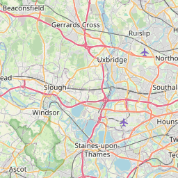
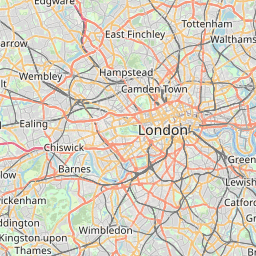
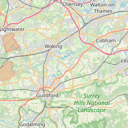
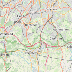


Leaflet | © OpenStreetMap contributors
Search distance between two cities
The weather for Teddington in the United Kingdom
Get today and tomorrow's weather forecasts for Teddington. Find out the weather forecast for the week ahead and the weekend for Teddington in the UK.Teddington weather forecast 15 days
What is the nearest train station to Teddington?
List of Railway Stations near to TeddingtonThe nearest railway stations to Teddington are listed below. Tickets are available at the train station ticket office or ticket machines.
| Name | Distances from Teddington |
|---|---|
| Teddington Station | 293 m |
| Fulwell Station | 1.36 Km |
| Strawberry Hill Station | 1.39 Km |
| Hampton Wick Station | 2.00 Km |
| Twickenham Station | 2.56 Km |
| Kingston Station | 2.73 Km |
| Hampton Court Station | 2.81 Km |
| Hampton Station | 2.97 Km |
| Whitton Station | 3.02 Km |
| St Margarets Station | 3.26 Km |
London Heathrow Airport , UK (10.15 Km)
London Heliport , UK (11.66 Km)
What is the nearest Public Transport Stops to Teddington?
List of Stops near to TeddingtonGetting there by public transport (nearest train, tube, overground line station and bus stops). The nearest stops to Teddington are listed below.
Historic Places to Visit near Teddington
List of Historic places near to Teddington
Cities or Towns near Teddington
List of places near to
| Name | Distance |
|---|---|
| Strawberry Hill | 1.23 Km |
| Fulwell | 1.30 Km |
| Ham | 1.81 Km |
| Hampton Hill | 1.83 Km |
| Hampton Wick | 1.98 Km |
| Hampton | 2.07 Km |
| Eel Pie Island | 2.10 Km |
| Twickenham | 2.41 Km |
| Cole Park | 2.45 Km |
| Kingston upon Thames | 2.87 Km |
| Hampton Court | 2.95 Km |
| Whitton | 3.24 Km |
| Petersham | 3.27 Km |
| St Margarets | 3.28 Km |
| East Molesey | 3.35 Km |
| Kingston Hill | 3.40 Km |
| Hurst Park | 3.59 Km |
| Norbiton | 3.62 Km |
| West Molesey | 3.77 Km |
| Richmond | 3.91 Km |
| Thames Ditton | 4.01 Km |
| Hanworth | 4.15 Km |
| Seething Wells | 4.15 Km |
| Surbiton | 4.46 Km |
| Woodlands | 4.46 Km |
| Giggshill | 4.63 Km |
| Isleworth | 4.68 Km |
| Weston Green | 4.78 Km |
| Long Ditton | 4.84 Km |
| Hounslow | 4.93 Km |
| Coombe | 5.10 Km |
| Kingston Vale | 5.22 Km |
| Berrylands | 5.37 Km |
| Spring Grove | 5.43 Km |
| Hounslow Heath | 5.43 Km |
| Kempton Park | 5.44 Km |
| Southborough | 5.49 Km |
| Sunbury | 5.69 Km |
| Feltham | 5.72 Km |
| Field Common | 5.76 Km |
| North Sheen | 5.83 Km |
| Hinchley Wood | 5.87 Km |
| Lampton | 5.88 Km |
| East Sheen | 5.90 Km |
| Lower Green | 5.96 Km |
| Sunbury-on-Thames | 5.98 Km |
| Sunbury Common | 6.01 Km |
| Putney Vale | 6.05 Km |
| Brentford End | 6.07 Km |
| Tolworth | 6.12 Km |