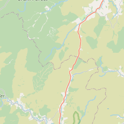
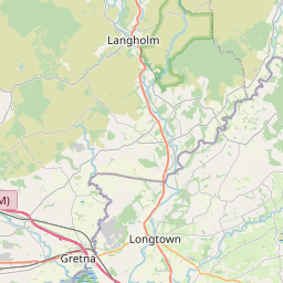
Steeleroad-end Map, Satellite view of Steeleroad-end, Roxburgh, Ettrick and Lauderdale, Scotland
Steeleroad-end is located in Roxburgh, Ettrick and Lauderdale County, Scottish Borders, Scotland, Scotland, United Kingdom.
Location informations of Steeleroad-end
Latitude of city of Steeleroad-end is 55.23351 and longitude of city of Steeleroad-end is -2.73270. Steeleroad-end has 1 postcode / zip code, in county of Roxburgh, Ettrick and Lauderdale.The County of Steeleroad-end is Roxburgh, Ettrick and Lauderdale.
Postcode / zip code of Steeleroad-end
TD9 0Administrative division of Steeleroad-end
County :Roxburgh, Ettrick and LauderdaleGPS coordinates of Steeleroad-end
Latitude : 55.23351Longitude : -2.73270
Online Map of Steeleroad-end - road map, satellite view and street view


Leaflet | © OpenStreetMap contributors
Search distance between two cities
The weather for Steeleroad-end in the United Kingdom
Get today and tomorrow's weather forecasts for Steeleroad-end. Find out the weather forecast for the week ahead and the weekend for Steeleroad-end in the UK.Steeleroad-end weather forecast 15 days
What is the nearest Public Transport Stops to Steeleroad-end?
List of Stops near to Steeleroad-endGetting there by public transport (nearest train, tube, overground line station and bus stops). The nearest stops to Steeleroad-end are listed below.
| Stop Name | Distances from Steeleroad-end |
|---|---|
| Larriston Farm Rd End Bus Stop (Opp) | 1.09 Km |
| Larriston Farm Rd End Bus Stop (At) | 1.09 Km |
| Castle Rd Jct Bus Stop (Opp) | 3.22 Km |
| Castle Rd Jct Bus Stop (At) | 3.23 Km |
| Farm Bus Stop (At) | 4.09 Km |
| Farm Bus Stop (Opp) | 4.10 Km |
| Church Bus Stop (Nr) | 4.20 Km |
| Church Bus Stop (Opp) | 4.21 Km |
| Thorlieshope Rd End Bus Stop (At) | 4.67 Km |
| Cottages Bus Stop (Opp) | 7.29 Km |
Historic Places to Visit near Steeleroad-end
List of Historic places near to Steeleroad-end
| Name | Distances from Steeleroad-end |
|---|---|
| Hermitage Castle | 4.68 Km |
| Kielder Forest Park | 9.67 Km |
Cities or Towns near Steeleroad-end
List of places near to
| Name | Distance |
|---|---|
| Steele Road | 1.32 Km |
| Larriston | 1.41 Km |
| Dinlabyre | 1.41 Km |
| Saughtree | 4.29 Km |
| Sandholm | 5.79 Km |
| Whithaugh | 6.39 Km |
| Deadwater | 7.70 Km |
| Copshaw Holm / Newcastleton | 7.90 Km |
| Gorrenberry | 8.04 Km |
| Kielder | 9.04 Km |
| Butteryhaugh | 9.65 Km |
| Kershopefoot | 12.13 Km |
| Skelfhill | 13.58 Km |
| Bushfield | 14.30 Km |