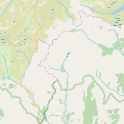
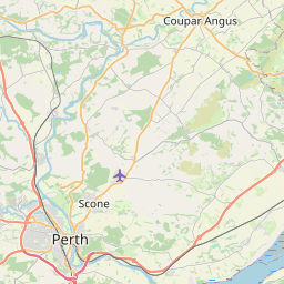
Ferryden Map, Satellite view of Ferryden, Angus, Scotland
Ferryden is located in Angus County, Angus, Scotland, Scotland, United Kingdom.
Location informations of Ferryden
Latitude of city of Ferryden is 56.69891 and longitude of city of Ferryden is -2.47522. Ferryden has 1 postcode / zip code, in county of Angus.The County of Ferryden is Angus.
Postcode / zip code of Ferryden
DD10 9Administrative division of Ferryden
County :AngusGPS coordinates of Ferryden
Latitude : 56.69891Longitude : -2.47522
Online Map of Ferryden - road map, satellite view and street view
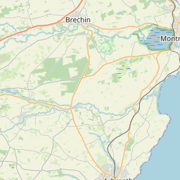
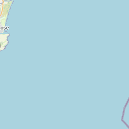
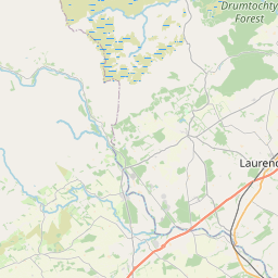
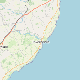
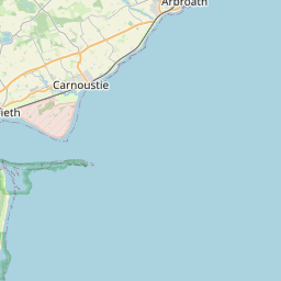

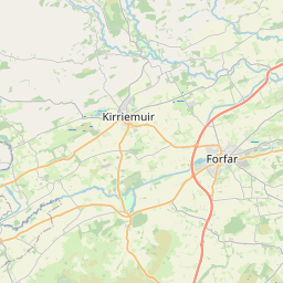
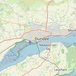


Leaflet | © OpenStreetMap contributors
Search distance between two cities
The weather for Ferryden in the United Kingdom
Get today and tomorrow's weather forecasts for Ferryden. Find out the weather forecast for the week ahead and the weekend for Ferryden in the UK.Ferryden weather forecast 15 days
What is the nearest train station to Ferryden?
List of Railway Stations near to FerrydenThe nearest railway stations to Ferryden are listed below. Tickets are available at the train station ticket office or ticket machines.
| Name | Distances from Ferryden |
|---|---|
| Montrose Station | 1.56 Km |
| Laurencekirk Station | 15.29 Km |
| Arbroath Station | 16.98 Km |
| Carnoustie Station | 26.21 Km |
| Golf Street Station | 26.90 Km |
| Barry Links Station | 28.23 Km |
What is the nearest Public Transport Stops to Ferryden?
List of Stops near to FerrydenGetting there by public transport (nearest train, tube, overground line station and bus stops). The nearest stops to Ferryden are listed below.
| Stop Name | Distances from Ferryden |
|---|---|
| Primary School Bus Stop (at) | 14 m |
| Grampian View Bus Stop (at) | 75 m |
| Craig Road Bus Stop (at) | 158 m |
| Craig Road Bus Stop (opp) | 180 m |
| Burnside Place Bus Stop (opp 4) | 189 m |
| Burnside Place Roundabout Bus Stop (at) | 210 m |
| Ferryden Roundabout Bus Stop (at) | 306 m |
| Inchbrayock Road Bus Stop (at) | 307 m |
| Inch Terrace Bus Stop (opp) | 343 m |
| Inch Terrace Bus Stop (at) | 369 m |
Historic Places to Visit near Ferryden
List of Historic places near to Ferryden
| Name | Distances from Ferryden |
|---|---|
| Dunninald | 2.25 Km |
| House of Dun | 4.81 Km |
| Brechin Cathedral Round Tower | 11.90 Km |
| Brechin Cathedral | 11.91 Km |
| Maison Dieu Chapel | 11.96 Km |
| Capo Long Barrow | 12.12 Km |
| Brechin Castle | 12.15 Km |
Cities or Towns near Ferryden
List of places near to
| Name | Distance |
|---|---|
| Inchbraoch / Rossie Island | 0.51 Km |
| Kirkton of Craig | 0.78 Km |
| Montrose | 1.25 Km |
| Rossie Mills | 1.40 Km |
| Usan | 1.74 Km |
| Mains of Usan | 1.78 Km |
| Balkiellie | 2.02 Km |
| Maryton | 2.54 Km |
| Boddin | 2.99 Km |
| Nether Dysart | 3.31 Km |
| Borrowfield | 3.49 Km |
| Old Montrose | 3.90 Km |
| Lunan | 4.33 Km |
| Barnhead | 4.60 Km |
| Hillside | 4.60 Km |
| Braehead of Lunan | 4.67 Km |
| Dun | 4.89 Km |
| Bridge of Dun | 5.26 Km |
| Logie | 7.08 Km |
| Kinnaird | 7.57 Km |
| North Craigo | 7.79 Km |
| Craigo | 8.18 Km |
| Farnell | 8.23 Km |
| Inverkeilor | 8.49 Km |
| Roadside | 8.57 Km |
| Ethie | 8.71 Km |
| Lochside | 8.73 Km |
| Logie Pert | 8.93 Km |
| Leightonhill | 9.01 Km |
| Burnhead | 9.03 Km |
| St Cyrus | 9.05 Km |
| Kirkton | 9.10 Km |
| Hodgeton | 9.50 Km |
| Marykirk | 9.57 Km |
| Bush | 10.51 Km |
| Cauldcots | 10.67 Km |
| Brae of Pert | 11.12 Km |
| Boysack | 11.21 Km |
| North Water Bridge | 11.40 Km |
| Kinnell | 11.67 Km |
| Brechin | 11.89 Km |
| Trinity | 12.00 Km |
| Auchmithie | 12.66 Km |
| Newtonmill | 12.80 Km |
| Stracathro | 13.08 Km |
| Friockheim | 13.10 Km |
| Luthermuir | 13.32 Km |
| Johnshaven | 13.58 Km |
| Leysmill | 13.66 Km |
| Marywell | 13.69 Km |